Continuing with some features of the line as shown in the first posting of this series.
A lot of points of interest further from Belgrove were already shown in the Glenhope Kawatiri article, here is the rest.
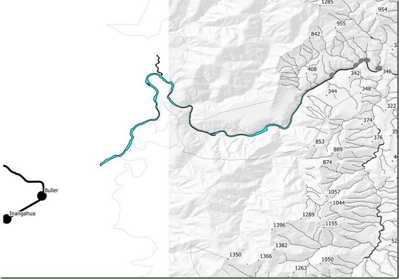
This map shows the section of the Buller Gorge from the end of the completed surveys (right), to where it would have met the SWL. The map on the left is a little featureless because it is the boundary between the two regions.
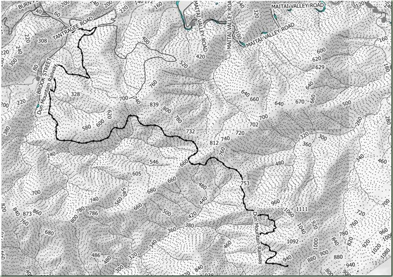
This is the map of the Dun Mountain Railway which is now a trail. The lower part that went alongside streets is not shown, only the part that is now a track.


