Well this has been on the cards for the last few months. At the beginning of this year as was publicised on this blog, the site was put into archive format, with the announcement there would be no new updates posted. This was as a result of a decision that I would like to produce content on the Open Street Maps platform instead.
Since that time while doing stuff on OSM, I quickly realised it would be limited to current rail lines only. So the decision was taken to continue the development of the current Google Earth based maps. As usual this would be done in conjunction with the wider NZ railfan community.
On 10th June, with the support of Steve Watts, who owns the copyright of the NZ Railway & Tramway Atlas 4th Edition and recently produced a reprint of this edition, I formed a new Yahoo group to continue the development of the maps. This has evolved into a research community and its scope has changed to look at replacement formats for the present NZRTA. It is infeasible to produce a printed map directly from Google Earth because of licensing restrictions with the satellite/aerial imagery, so the decision has been taken to produce new maps in Quantum GIS using the free Linz data layers.
At this stage the idea is to produce large format maps in A4 or A5 format. Each individual map page is A5 size at a scale of 1:10000 when it is generated on the computer screen, and two of them would fit onto an A4 page. The scale will permit a considerable amount of detail to be shown, including the names of adjacent roads, and significant features or remnants to be marked on the map.
I will now be creating these new maps alongside the maintenance of the existing maps, and they will be used on the Yahoo group and probably will result in a printed publication in the future. Only the existing GE maps will be freely distributed, and this will continue to be done through my existing website.
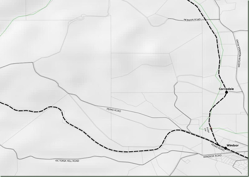
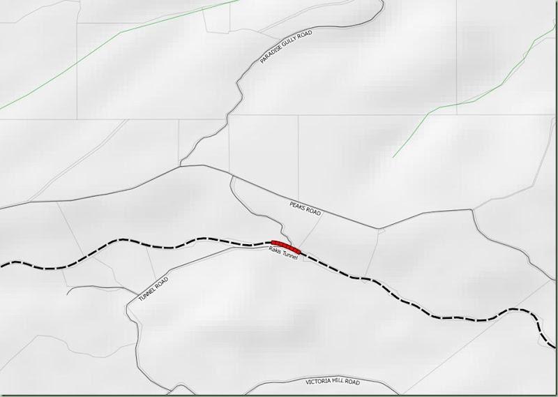
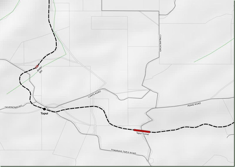
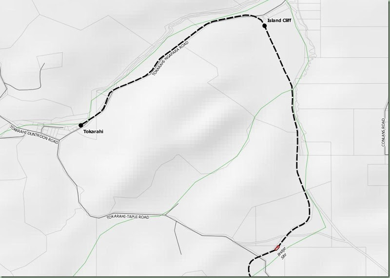
Here are some early samples showing the Tokarahi Branch inland from Oamaru. The roads come from the Linz data layers and the labels are part of that layer. The other Linz layers visible are rivers/streams, property boundaries and contour shading. This is about as much detail as can be usefully added to something that will be produced in a greyscale format.


