
The Midland Line has/had a number of branches, starting with Whitecliffs Branch and Oxford Branch in Canterbury, and progressing through to several on the West Coast. The longest of its branches has been the one from Greymouth to Ross, a total distance of just over 60 km. The history of railways in the Grey District seems to be one of routes radiating out from its principal township, with works apparently commencing in the 1870s eastward towards Stillwater, and in the 1890s southward towards Ross. In the latter case the first section completed was to Hokitika in 1893, being the first 38 km of this route. At that point there was quite a lengthy delay until the line reached Ruatapu in 1906, doubtless partly occasioned by the task of constructing the lengthy combined bridge over the Hokitika River. It then took another three years for the last section to Ross to be completed, which includes a bridge nearly 200 metres long over the Totara River. However, trains were running to the north end of this bridge In December 1908, the last section finally being completed in April 1909. South of Ross there was from 1919 until 1959 a bush tramway owned by Stuart & Chapman Ltd which apparently included a bridge that was shared with road traffic and may have reached as far south as Ianthe. Apparently there were some notions that this should become an extension of the Ross line but this never happened, if it ever was expected to.
The Hokitika-Ross section of the line closed in 1980 partly due to the deteriorating condition of the bridges and the combined bridge at Hokitika was demolished soon after. It is a matter of record that at least the section of track between Ruatapu and Ross was left in place for a few years after the closure and the local people of the area built their own jiggers to run on the track. I used to have a newspaper cutting showing tenders were called for the lifting of this section around 1986/87. We had during 1987 holidayed in the area and I did get some pictures which I hopefully have around somewhere of a few remnants of the branch line. In the 1990s Transit NZ (the state highways agency of the government) decided that a new highway from Hokitika to Ross was a good idea and they built a new bridge across the Hokitika River on the site of the old railway one and then put the first part of the highway along the old rail corridor. Hence this is documented on the maps which are as below. Because of rail corridor reuse and the sparsely populated nature of the area there are few remnants south of Hokitika as far as the stations go. The main things you can find today are Bridge 37 which has been preserved by the Department of Conservation just south of Takutai, and the formation, eleven bridges and some culverts between Ruatapu and Ross which has been incorporated into a rail trail. However the long term future of this section is somewhat hazy due to the possibility of it being dredged or quarried for gold in years to come.

Commencing at Hokitika for this examination of the Ross Branch. Hokitika station is on the north bank of the Hokitika River and there is a siding which originally connected to a sawmill that even in the 1980s still had a short tramway running from it, originally there was a much longer tramway network going into the bush that we shall map soon. These days the siding connects to the Westland Milk factory, which provides the entire traffic for the Hokitika line. There was also a siding onto the old wharf. The main line crossed the combined bridge No.33 the site of which is now occupied by the new road bridge and headed south towards Ross. On the south bank the highway has taken over the first section of the rail corridor.

Continuing south we approach the site of the Takutai station of which there are no known remains partly due to the highway reusing the corridor. The highway leaves the rail corridor just a little south of Takutai with the corridor now to the east of the highway, which is reusing Ruatapu Road. Bridge No. 35 was just a little north of Takutai.


The rail corridor continues east of the highway to the next station, Mananui. There were no remains there when I last visited in 1987 except for a train control phone box which is probably gone now. Mananui once had a bush tramway connecting to it and a walking route follows the tram's route nowadays.

Lake Mahinapua station is at the site of a well known hotel that appeared in a TV advertising campaign. The road made a right angle crossing over the railway at this point and carried on at the eastern side of the line to Ruatapu, part of its route being incorporated into the highway which gently drifts over to that side.

Ruatapu was the railhead from 1906 until late 1908 and for a good part of its life the sawmill provided rail traffic as well as a housing settlement. The mill still operates today but there are fewer houses. The highway used to run through the township with a right angle level crossing so did not cross the rail route, when it was open, at the place where it does today. The rail trail starts to the south where the highway curves around to go east.

For the rail trail section I have turned off the corridor path from being displayed so that we can just look at the eleven former railway bridges that are now part of this trail. So here for a start is Bridge 38 crossing Rocky Creek.


Papakamai is a station we know very little about. It doesn't appear in the 1952 working timetable reprint so must have closed earlier. As far as I can tell, the only thing of note was a bush tramway that may have brought timber to be loaded. The Quail Atlas suggests this tramway was open by 1905 but does not give a closure date.


The last stretch before reaching the end of the line takes in Bridge 47 and 48, the latter being the longest south of the Hokitika river, nearly 200 metres long. This was found to be in surprisingly good condition after being abandoned more than 30 years, but it did require repairs in the order of a six figure amount to be re-used by the rail trail.


Heading into Ross the rail trail leaves the rail corridor. Approaching the station, the site of the engine turning triangle can be seen on the west side of the corridor.
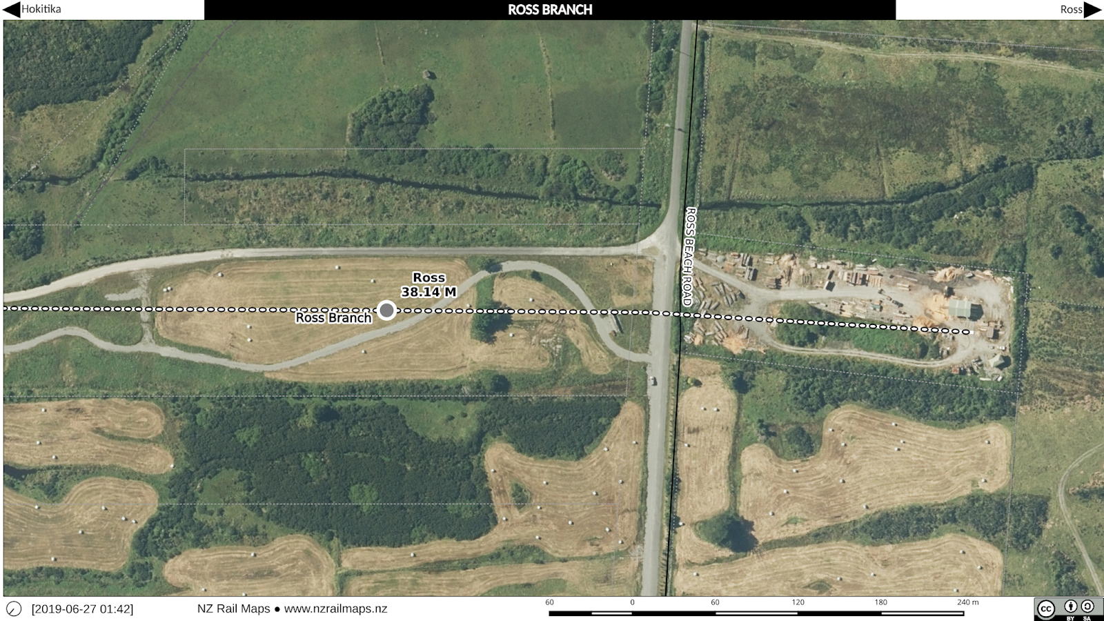
The station of Ross served a sawmill which is still present in some form at the very end of the line. From about this location, Stuart & Chapman's timber tramway carried on further south in conjunction with this mill.