
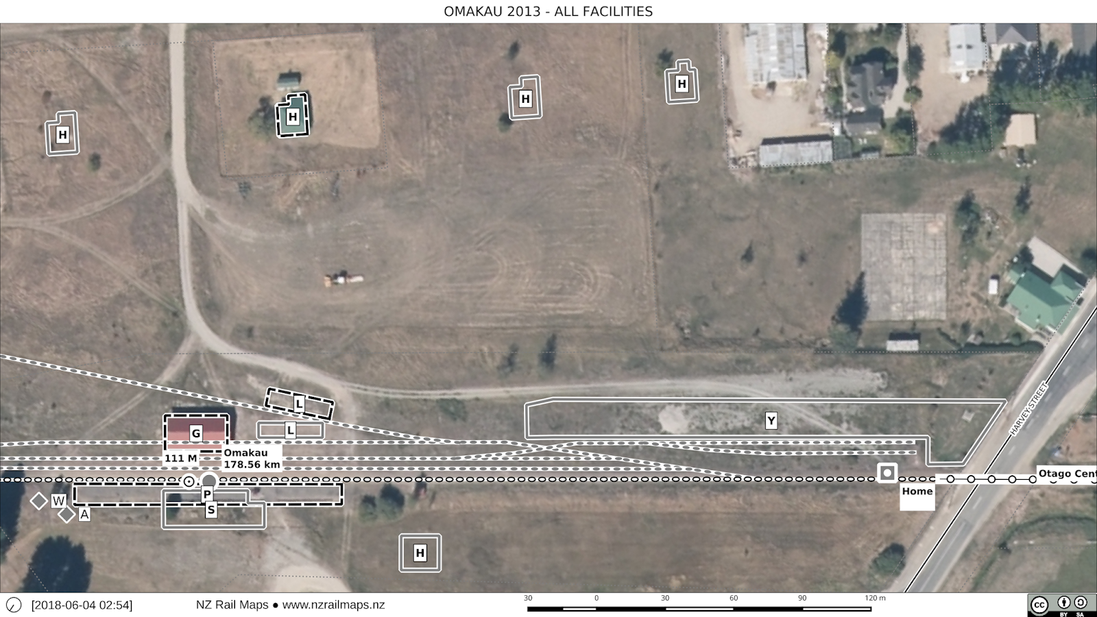
Here's the complete finalised map set for Omakau and a few Google pictures from along the way.


A view of Tiger Hill, the major topographical feature between Chatto Creek and Omakau. The railway descends and sweeps around, to pass along the foot of the range of hills seen to the right.

An aerial view from Google Earth of this section of the railway. This highlights in particular how the Chatto Creek to Omakau section bypassed the deep Manuherikia River gorge to the right. The Manuherikia was followed by the railway from Lauder to Omakau and from Chatto Creek to Alexandra, hence the three large bridges that crossed this waterway.