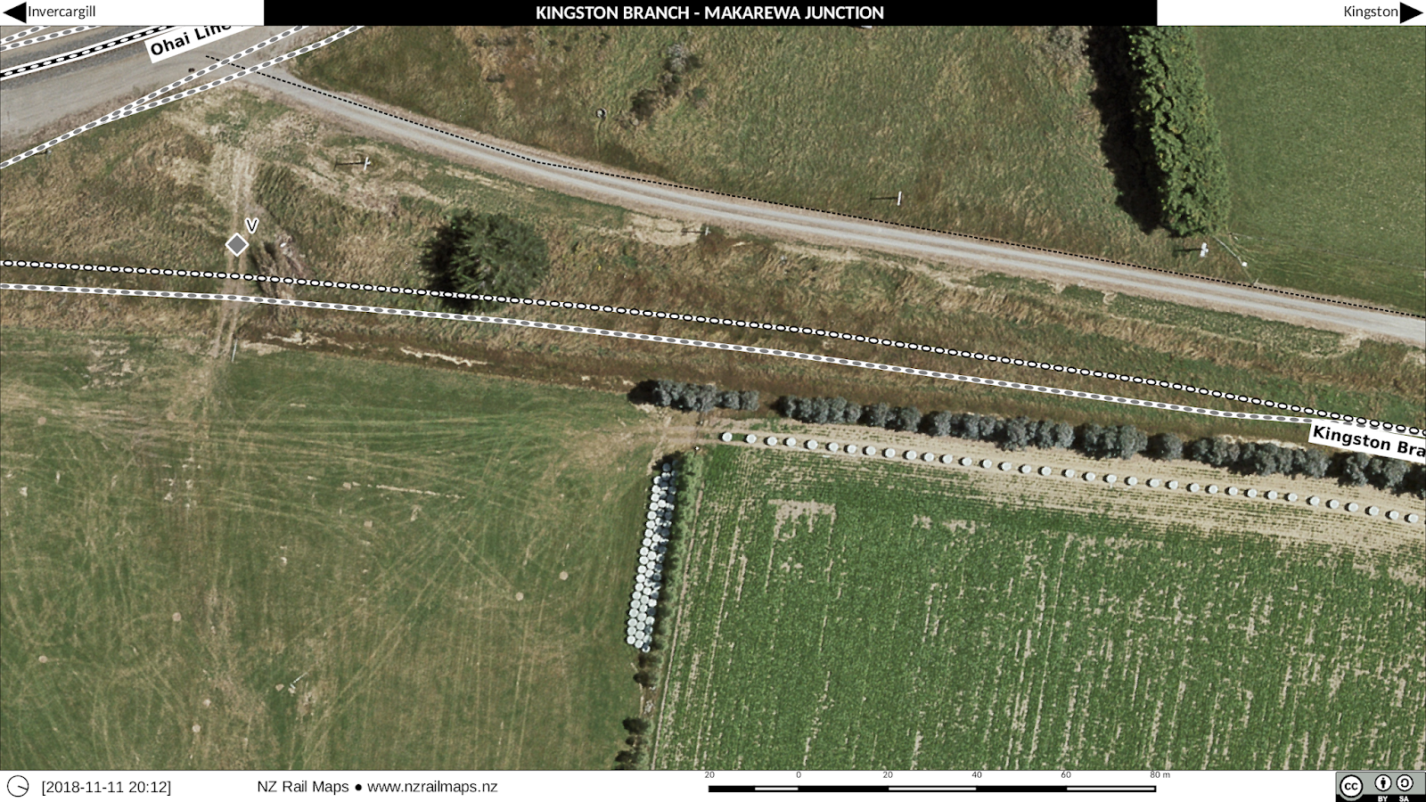
Makarewa (12.12 km) was an important station on the Kingston Branch (Ohai Line) because it used to be a junction. This was where the Tuatapere Branch started off the Kingston Branch. But since the last part of the Tuatapere Branch from Thornbury to Riverton closed in 1978, Makarewa to Thornbury was incorporated into the Wairio Branch, and since the last part of the Kingston Branch from Makarewa to Mararoa (along with the Mossburn Branch from Mararoa to Mossburn) closed in 1982, Invercargill to Mararoa was also incorporated into the Wairio Branch, which is now called the Ohai Line.
Since metrication occurred before the closure of the Tuatapere Branch and since it is likely that branch was metricated (the working timetable of 1974 would show this but I don't as yet have that available for reference for lines in Southland), km pegs for this line were probably just renumbered when it was put into the Wairio Branch. As Makarewa was just past the 12 km peg, it was probably easy to just renumber the existing km posts from Makarewa to Thornbury rather than re-measure all the distances. This is of course speculation but we don't have many Way and Works records available for research as they tended to have been discarded when the various offices closed up - there are few chainage books for example. It was a real gift to have chainage books for the Otago Central Railway and these actually got into Archives New Zealand via private collections rather than being transferred from NZR.
The reason for me to say this is that mileposts or km posts are really just a namespace because it is not routine to remeasure when a distance changes in a line and so there end up being short or long miles (or km) and so it seems likely the existing pegs in the Tuatapere and Wairio branches just had new numbers put on them when the Wairio Branch took in pieces of the Tuatapere and Kingston branches to become the name of the entire route from Invercargill to Wairio, which we assume occurred possibly starting in 1978 and continuing through 1982.
The other notable thing about Makarewa is the old freezing works which is right beside the western side of the Ohai Line as the line curves around to head west. This was originally quite a major plant and even had accommodation and recreational facilities for people that worked there. There was an accommodation block probably for single employees as well as a lot of housing on the opposite side of the main road, a bowling green is also visible on the older aerials. All this stuff as well as many plant buildings are gone now and the railway sidings are no longer in use.
Makarewa was an island platform (the platform and station building are gone) and also had a bridge to the south across the Makarewa River (Bridge 6) that is still partly decked (it was formerly decked both sides) because shunters would have to be able to walk across the bridge when shunting through the mainline points at the south end.
Maps are from 1972 and 2015.